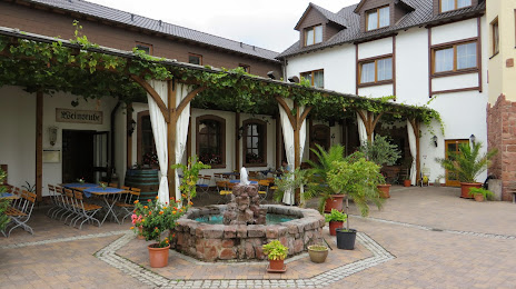
 Rosenberg
  Michelstadt
  Schrobenhausen
  Sigmaringendorf
  Speck
Speck  Großbottwar
  Eystrup
  Mayen
Mayen  Moringen
  Züssow
  Beerfelden
  Eiterfeld
  Eichwalde
  Huntlosen
  Parkstetten
  Ratzeburg
  Dreilinden
  Fuldatal
  Schierhorn
Bobenheim-Roxheim on the map, Germany
Where is located Bobenheim-Roxheim
Exact location — Bobenheim-Roxheim, Rhineland-Palatinate, Germany, marked on the map with a red marker.
Coordinates
Bobenheim-Roxheim, Germany coordinates in decimal format: latitude — 49.5811581, longitude — 8.3589707. When converted to degrees, minutes, seconds Bobenheim-Roxheim has the following coordinates: 49°34′52.17 north latitude and 8°21′32.29 east longitude.
Population
Bobenheim-Roxheim, Rhineland-Palatinate, Germany, according to our data the population is — 10,129 residents, which is about 0% of the total population of the country (Germany).
Comparison of the population on the graph:
Exact time
Time zone for this location Bobenheim-Roxheim — UTC +2 Europe/Berlin. Exact time — thursday, 12 december 2024 year, 01 h. 45 minutes.
Sunrise and sunset
Bobenheim-Roxheim, sunrise and sunset data for a date — thursday 5.12.2024.
| Sunrise | Sunset | Day (duration) |
|---|---|---|
| 09:11 +1 minute | 17:23 -0 minutes | 8 h. 12 minutes. -1 minute |
You can control the scale of the map using the auxiliary tools to find out exactly where it is located Bobenheim-Roxheim. When you change the scale of the map, the width of the ruler also changes (in kilometers and miles).
Nearby cities
The largest cities that are located nearby:
- Mannheim — 13 km
- Ludwigshafen — 13 km
- Heidelberg — 30 km
- Darmstadt — 38 km
- Mainz — 46 km
- Wiesbaden — 56 km
- Frankfurt — 63 km
- Karlsruhe — 64 km
- Offenbach — 64 km
- Heilbronn — 78 km
- Pforzheim — 80 km
- Koblenz — 102 km
- Saarbrücken — 105 km
- Stuttgart — 107 km
- Würzburg — 116 km
- Strasbourg
(France) — 120 km
- Trier — 124 km
- Reutlingen — 134 km
- Siegen — 146 km
Distance to neighboring capitals:
- Vaduz
(Liechtenstein) — 285 km
- Bern
(Switzerland) — 301 km
- Brussels
(Belgium) — 318 km
- Amsterdam
(Netherlands) — 394 km
- Prague
(Czech Republic) — 439 km
- Paris
(France) — 444 km
- Paris
(France) — 444 km
- Ljubljana
(Slovenia) — 603 km
- Vienna
(Austria) — 605 km
- Copenhagen
(Denmark) — 735 km
- Rome
(Italy) — 912 km
- Warsaw
(Poland) — 934 km
- Oslo
(Norway) — 1159 km
- Stockholm
(Sweden) — 1244 km
- Minsk
(Belarus) — 1402 km
- Helsinki
(Finland) — 1577 km
- Kyiv
(Ukraine) — 1581 km
Attractions
Distance to the capital
Distance to the capital (Berlin) is about — 481 km.


