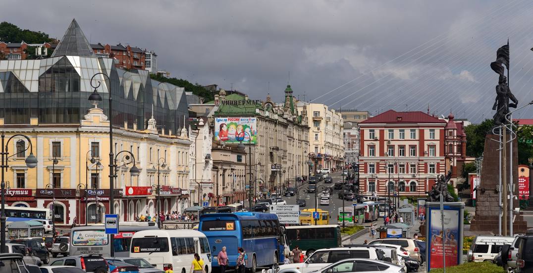
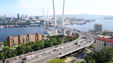
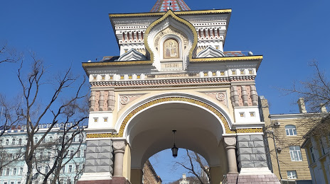
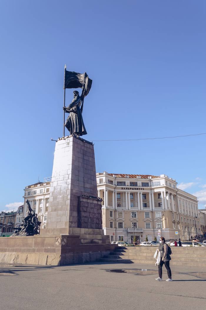
 Simferopol
  Lva Tolstogo
  Volgograd
  Ulyanovsk
  Novosibirsk
  Almaz
Almaz  Domodedovo
  Surgut
  Perm
Perm 
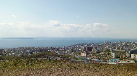
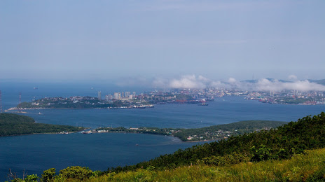
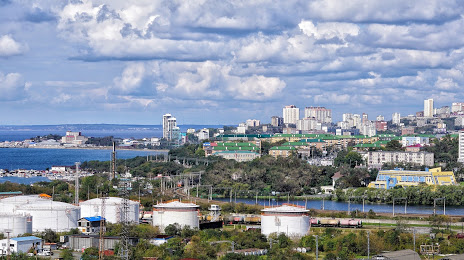
Vladivostok on the map, Russian Federation
Where is located Vladivostok
Exact location — Vladivostok, gorod Vladivostok, Primorsky Krai, Russia, marked on the map with a red marker.
Coordinates
Vladivostok, Russian Federation coordinates in decimal format: latitude — 43.133333, longitude — 131.9. When converted to degrees, minutes, seconds Vladivostok has the following coordinates: 43°7′60 north latitude and 131°54′0 east longitude.
Population
Vladivostok, gorod Vladivostok, Primorsky Krai, Russia, according to our data the population is — 587,029 residents, which is about 0.4% of the total population of the country (Russian Federation).
Comparison of the population on the graph:
Exact time
Time zone for this location Vladivostok — UTC +10 Asia/Vladivostok. Exact time — friday, 11 november 2024 year, 07 h. 16 minutes.
Sunrise and sunset
Vladivostok, sunrise and sunset data for a date — friday 29.11.2024.
| Sunrise | Sunset | Day (duration) |
|---|---|---|
| 08:25 +1 minute | 17:35 -1 minute | 9 h. 12 minutes. -2 minutes |
You can control the scale of the map using the auxiliary tools to find out exactly where it is located Vladivostok. When you change the scale of the map, the width of the ruler also changes (in kilometers and miles).
Nearby cities
The largest cities that are located nearby:
- Artem — 35 km
- Ussuriysk — 74 km
- Nakhodka — 86 km
- Mudanjiang
(China) — 238 km
- Jixi
(China) — 250 km
- Jiamusi
(China) — 423 km
- Jilin
(China) — 434 km
- Hegang
(China) — 481 km
- Harbin
(China) — 508 km
- Changchun
(China) — 530 km
- Suihua
(China) — 540 km
- Liaoyuan
(China) — 548 km
- Siping
(China) — 609 km
- Khabarovsk — 637 km
- Daqing
(China) — 642 km
- Fushun
(China) — 668 km
- Tieling
(China) — 677 km
- Pyongyang
(North Korea) — 695 km
- Benxi
(China) — 704 km
Distance to neighboring capitals:
- Pyongyang
(North Korea) — 687 km
- Seoul
(South Korea) — 746 km
- Beijing
(China) — 1337 km
- Khan-Uul
(Mongolian) — 2023 km
- Hanoi
(Vietnam) — 3447 km
- Kathmandu
(Nepal) — 4489 km
- Astana
(Kazakhstan) — 4524 km
- Tehran
(Iran) — 6696 km
- Helsinki
(Finland) — 6767 km
- Tbilisi
(Georgia) — 6803 km
- Tallinn
(Estonia) — 6825 km
- Yerevan
(Armenia) — 6917 km
- Mariehamn
(Åland Islands) — 6989 km
- Rīga
(Latvia) — 7025 km
- Minsk
(Belarus) — 7064 km
- Vilnius
(Lithuania) — 7126 km
- Stockholm
(Sweden) — 7130 km
- Kyiv
(Ukraine) — 7139 km
- Oslo
(Norway) — 7371 km
- Warsaw
(Poland) — 7519 km
- Bucharest
(Romania) — 7822 km
- Prague
(Czech Republic) — 8013 km
Attractions
Distance to the capital
Distance to the capital (Moscow) is about — 6417 km.

